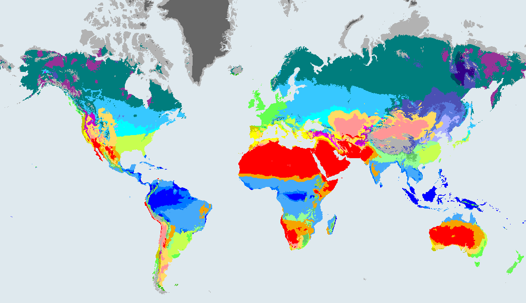
What a Cwc climate is like
Cwc Cold subtropical highland (dry winter). A rare climate found on high ground, with a dry winter and a short cool summer.
The rules behind the code, in plain English:
- Temperate (coldest month between 0 °C and 18 °C).
- Dry winter: the driest winter month gets less than a tenth of the rain of the wettest summer month.
- Cold summer: only one to three months are above 10 °C.
Dataset wording: "Temperate, dry winter, cold summer". In the maps of Beck et al. (2023) the class is written: C: Not B and Thot > 10 and 0 < Tcold < 18; w: Pwdry < Pswet/10; c: Not (a or b) and 1 <= Tmon10 < 4.
Cold subtropical highland climate with a dry winter has short, cool summers and dry winters, found high on mountains. The air is thin and cold, frost is common and the growing season is short. Hardy grasses, shrubs and hardy crops such as potatoes and barley manage here, and herding is common. People wear warm layers all year and build to keep out the cold.
How much of the world is Cwc?
- less than 0.1%of the world's land outside Antarctica, 1991 to 2020
- 7,560 km²area, 1991 to 2020
- 0cities of 15,000 or more people (GeoNames) have this climate now
In 1901 to 1930 it covered less than 0.1% of that land, so its area then was 8.6% larger than in 1991 to 2020.
How the Cwc area is projected to change by 2071 to 2099
These figures compare the area of Cwc in each future map with 1991 to 2020. They come from the Beck et al. (2023) model projections under three emissions scenarios. They show what the scenarios imply, not what will happen.
| Map | Share of land | Change in area vs 1991 to 2020 |
|---|---|---|
| 1901 to 1930 (past) | less than 0.1% | +8.6% |
| 1991 to 2020 (now) | less than 0.1% | - |
| 2071 to 2099, SSP1-2.6 (low emissions) | less than 0.1% | +73.42% |
| 2071 to 2099, SSP2-4.5 (middle of the road) | less than 0.1% | -0.97% |
| 2071 to 2099, SSP5-8.5 (high emissions) | 0% | -65.76% |
Shares are of land outside Antarctica. A negative change means the zone shrinks.
What happens to today's Cwc land
Of the land that is Cwc in 1991 to 2020, this is how much stays Cwc and where the rest ends up in 2071 to 2099, by scenario:
| Scenario (2071 to 2099) | Stays Cwc | Where the rest goes (biggest first) |
|---|---|---|
| SSP1-2.6, low emissions | 4.7% | Cwb (90%), BSk (2.9%), Cfb (1.7%) |
| SSP2-4.5, middle of the road | 0% | Cwb (94%), BSk (3.5%), Cfb (1.6%) |
| SSP5-8.5, high emissions | 0% | Cwb (93%), BSk (4.4%), Cfb (1.7%), Csb (1.3%) |
Looking back, 35% of today's Cwc land was also Cwc in 1901 to 1930. The rest was ET (43%), Cwb (9.5%), BSk (6.9%), BWk (2.7%), Dwc (2.1%).
Where Cwc is found
The countries with the most Cwc land in 1991 to 2020:
| Country | Area | Share of all Cwc | Share of the country |
|---|---|---|---|
| Bolivia | 3,862 km² | 51% | 0.4% |
| Peru | 1,484 km² | 20% | 0.1% |
| Lesotho | 282 km² | 3.7% | 0.9% |
| Guatemala | 103 km² | 1.4% | less than 0.1% |
Places with a Cwc climate today
No city of 15,000 or more people in our place file sits in a Cwc climate in 1991 to 2020, so there is no list here. Zoom the map to see where it is.
Other temperate climates (group C)
Frequently asked questions
What does Cwc mean in the Köppen climate classification?
Temperate (coldest month between 0 °C and 18 °C). Dry winter: the driest winter month gets less than a tenth of the rain of the wettest summer month. Cold summer: only one to three months are above 10 °C. The code is a short way of writing that: the first letter is the major group (C, temperate) and the letters after it say more about rain and temperature.
What is a cold subtropical highland (dry winter) climate like?
Short, cool summers and dry winters at altitude. A rare climate found on high ground, with a dry winter and a short cool summer.
How much of the world has a Cwc climate?
less than 0.1% of the world's land outside Antarctica was Cwc in 1991 to 2020, about 7,560 km² (Beck et al. 2023, 1 km maps).
Will the Cwc climate zone grow or shrink?
Under the middle-of-the-road scenario (SSP2-4.5), the area of Cwc in 2071 to 2099 is 0.97% smaller than in 1991 to 2020. This is a model projection, not a forecast, and it differs under other scenarios (see the table on this page).
Data: Beck et al. (2023), CC BY 4.0. See data sources and licences. Köppen-Geiger classes describe long-term averages, not weather.